Interactive Web Maps
Customer-facing maps that can show locations, projects, properties, services or other geographic information directly on a website.
GIS SOLUTIONS
We create interactive maps, Web GIS tools and location analysis solutions for businesses in Sweden, helping you understand customers, service areas, projects and new business opportunities.
WHAT GIS CAN DO
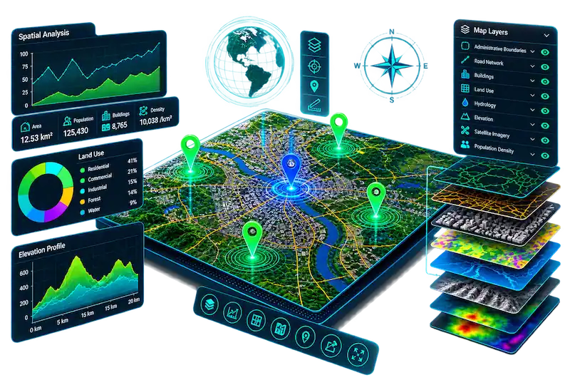
GIS can help businesses understand where customers, services, projects and opportunities are located, and turn location data into useful business information.
Customer-facing maps that can show locations, projects, properties, services or other geographic information directly on a website.
Show the geographic areas your business covers, including delivery zones, service regions or operating areas.
Analyse geographic patterns to better understand customers, accessibility, coverage and potential business locations.
Present properties, construction projects, assets or business sites in a clear geographic interface.
Use maps to understand delivery areas, travel distances and geographic coverage for local services.
Build tailored Web GIS solutions that combine maps, business information and interactive tools in one digital platform.
WHY USE GIS?
GIS is useful when location matters to your business. It can help you understand customers, coverage, accessibility and geographic opportunities.
Use geographic information to understand where opportunities, customers and services are located.
Visualize customer areas, demand patterns and geographic relationships more clearly.
Identify areas where your business could expand, improve coverage or reach more potential customers.
HAVE A LOCATION-BASED IDEA?
Whether you need an interactive map, service-area analysis or a custom Web GIS solution, tell us what you want to achieve.
Discuss Your GIS Project →